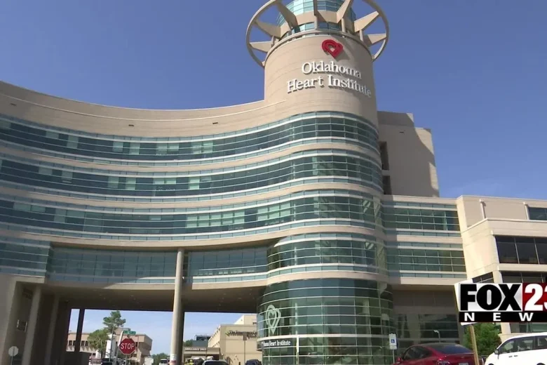
City of Broken Arrow launches interactive map to track traffic projects
Broken Arrow has launched a new interactive traffic map to help local drivers track road construction projects and check current street conditions.
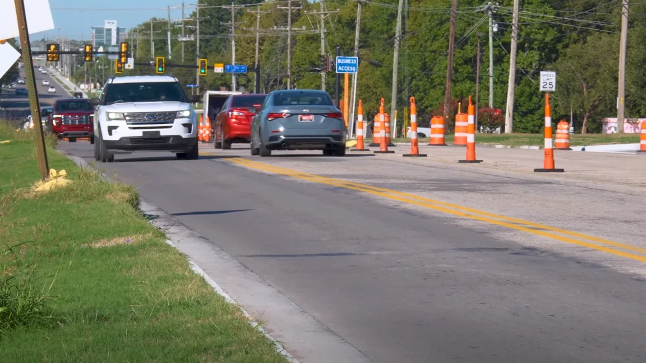
Broken Arrow has launched an interactive tool to display local roadway construction. Drivers can view street conditions to plan their travel routes. The system works online and on mobile phones.
Residents can find the feature on the official website. They can also download the My Broken Arrow Action Center mobile application. It is free to download.
Users can open the “Traffic in BA” category on the homepage. That page displays details about local construction projects. It includes project descriptions and current progress updates.
People can zoom in on the map. This shows traffic flow along specific Broken Arrow streets. Commuters can then pick their best travel paths.
The system updates traffic flow data every five minutes. The municipal government recommends checking back often for updates. Drivers must stay alert near work zones. They should reduce their speed.
Municipal departments manage local road projects and community transit networks. Digital tools provide travel updates to the public. Drivers use this information during daily trips.
The mobile tool connects users directly to Broken Arrow City Hall services. Commuters can view current street updates at any time.